I just finished a book today that was recommended by my
buddy John. It is called “The Island of Lost Maps” written by Miles Harvey.
Thanks John.

It is not the kind of book that I usually read because it
has a fair amount of history and a lot of geography in it. It is about maps
after all. It’s also about a man named Gilbert Bland who stole old maps from
libraries in at least two countries that were worth hundreds of thousands of
dollars. Miles spent years researching the story and following Mr. Bland’s
exploits. Spaced throughout the book, are interesting facts about cartography
and a lot of hows and whys about map making. Like I said, it is a very
interesting book although it can be a little dry at times. I suppose anything
that isn’t in your area of interest could be described as dry.
I know a lot more about maps and map making than I did just
a week ago. In fact, I know enough to know just how little I know about the
subject. Each and every map that was mentioned in the book would be fascinating
to see in person and you could spend the rest of your life looking into the
why, who, where of any of these maps. The history of the human race can be and
is “mapped” out by following the evolution of cartography. Will I fall into the
rabbit hole that maps represent? I don’t think so. I do have a yen to make my
own map.


I haven’t decided if I will make a faithful copy of some pre
existing map of the world or of some fantasy world from one of my favourite
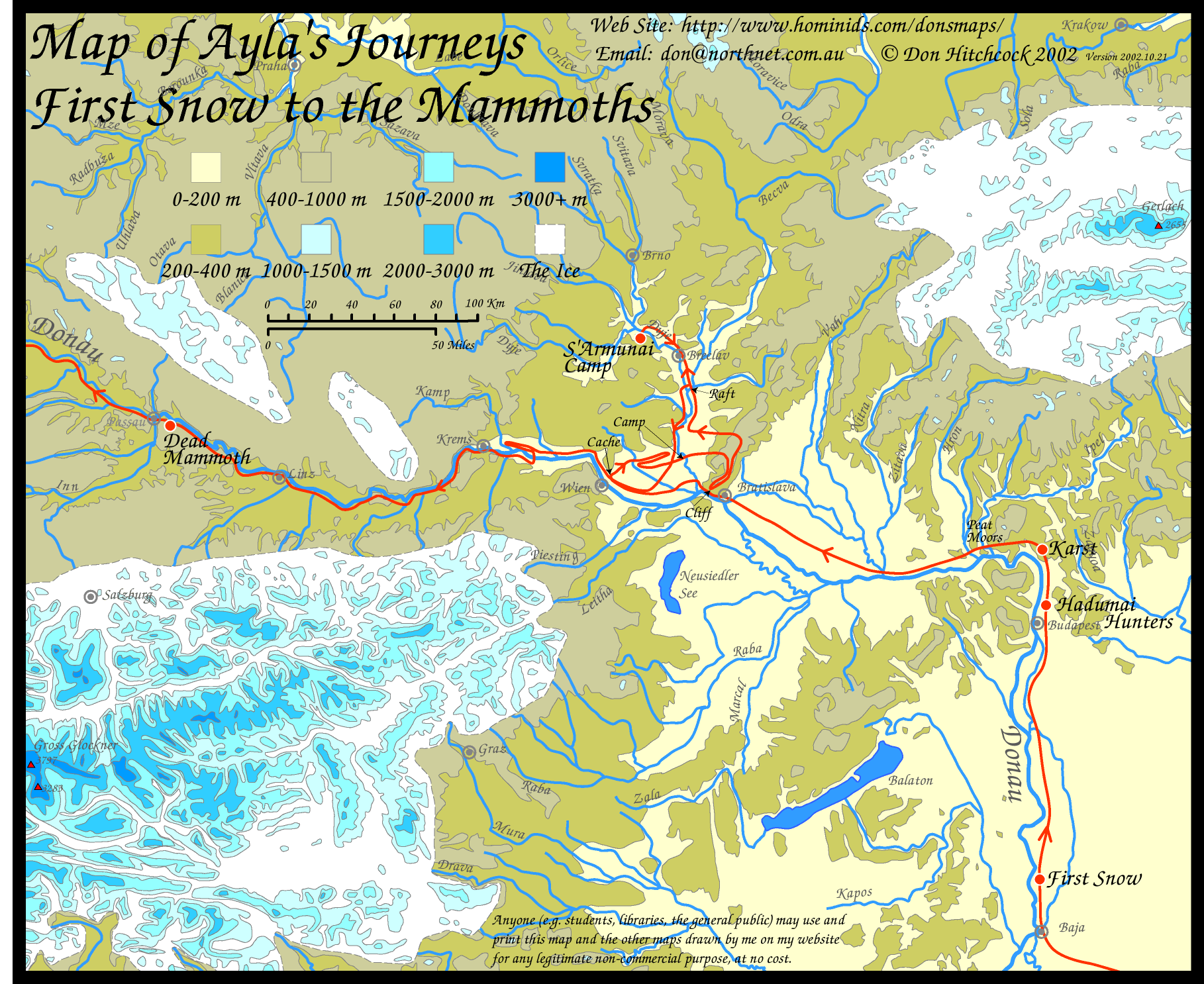
books. Pern, Middle Earth, The Earth Children world, Narnia or even OZ would
make an interesting map to hang on my wall. I could use all of the map making
techniques that I learned in Mr. Bensons grade six geography class. I could
make up my own land with mountains, rivers, deserts, cities and radioactive
waste lands. That might be easier because I wouldn’t be constrained by
accurately depicting a map someone else has already drawn.
I am going to have to give this some thought. The seed has
been planted in my mind now and it might be fun to name some of the world’s
features after the grandkids. There could be the Canyon
of Hurricanes Tsunami
Islands
Needless to say there will be Kenland somewhere on the map.
It will be a magical land that has lost the magic over time and the heroes of
the story E…C…and M will go on a long and dangerous quest to find the magic and
bring it back to Kenland.
The map will be discovered, after all, the map is already
drawn it just needs to be discovered…
Thats great Ken I'm glad you enjoyed the book. It combines such diverse things into a story. It draws you in a sneeky way. It is a little slow in spots but its fun ultimately. I never thought to draw my own map. Hmmmm what would it be a map of?? I'll have to try that. Are you on instagram? It's very visually orientated eh??
ReplyDelete